GPS Moderator
- Posts 1546
- WRZ$
33296.70
- Device GPSMap276c, Nuvi 1450T, Montana 600, Monterra, Virb
- OS Android 10
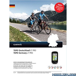
Garmin - Topo Germany v7 Pro
Requirements: compatible Garmin Devices
Overview: Let us guide you on all of your recreational and outdoor adventures in Germany, from the shores of the North Sea up to the summits of the Alps.
Provides accurate topographic maps in reference scale of 1:25,000.
offers an enhanced recreational trail network, including detailed hiking trails for touristic regions and long-distance hiking trails (national level).
Displays new and helpful touristic data and route information, including an additional 350,000-plus km of the touristic cycling route network from the Germany Cycling Club (ADFC) and the quality hiking trails from the German Hiking Club (DWV).
Offers ActiveRouting¹, allowing you to customize and specifically plan routes for the entire road and trail network. The activity-specific map displays highlights of suggested routes in addition to dedicated biking and hiking routes.
Includes searchable street names (with number accuracy).
Features Digital Elevation Model (DEM) with dense contour intervals of 20 m equidistance for route profile planning and post-trip service.
¹ActiveRouting supported by BaseCamp™ on Windows®/Mac® and Montana®, Monterra™, Edge® 810/1000, GPSMAP® 62/64 and Oregon® 6xx/x50 series devices.
More Info:
Download Instructions:
Topo Germany v7 Pro or Topo Germany v7 Pro
MapID 3682 Topo / 3684 Winter image
password: ozboss18
Inside:
unlocked winter image
unlocked gmap folder
hoster
filefactory.com
share-online.biz
Requirements: compatible Garmin Devices
Overview: Let us guide you on all of your recreational and outdoor adventures in Germany, from the shores of the North Sea up to the summits of the Alps.
Provides accurate topographic maps in reference scale of 1:25,000.
offers an enhanced recreational trail network, including detailed hiking trails for touristic regions and long-distance hiking trails (national level).
Displays new and helpful touristic data and route information, including an additional 350,000-plus km of the touristic cycling route network from the Germany Cycling Club (ADFC) and the quality hiking trails from the German Hiking Club (DWV).
Offers ActiveRouting¹, allowing you to customize and specifically plan routes for the entire road and trail network. The activity-specific map displays highlights of suggested routes in addition to dedicated biking and hiking routes.
Includes searchable street names (with number accuracy).
Features Digital Elevation Model (DEM) with dense contour intervals of 20 m equidistance for route profile planning and post-trip service.
¹ActiveRouting supported by BaseCamp™ on Windows®/Mac® and Montana®, Monterra™, Edge® 810/1000, GPSMAP® 62/64 and Oregon® 6xx/x50 series devices.
More Info:
Code: Select all
https://buy.garmin.com/en-US/US/prod512483.htmlDownload Instructions:
Topo Germany v7 Pro or Topo Germany v7 Pro
MapID 3682 Topo / 3684 Winter image
password: ozboss18
Inside:
unlocked winter image
unlocked gmap folder
hoster
filefactory.com
share-online.biz
GPS Moderator
- Posts 1546
- WRZ$
33296.70
- Device GPSMap276c, Nuvi 1450T, Montana 600, Monterra, Virb
- OS Android 10
if you have my maps downloaded
copy unpacked gmap folder to garmin map directory
WIN10/8/7/Vista = C:\ProgrammData\Garmin\Maps
or
XP = C:\Dokument and Setting\All Users\ApplicationData\Garmin\Maps
on MAC OS
/Library/Application Support/Garmin/Maps/
and BaseCamp or Mapsource see the map
now you can create and transfer own image to device
all other don't support